
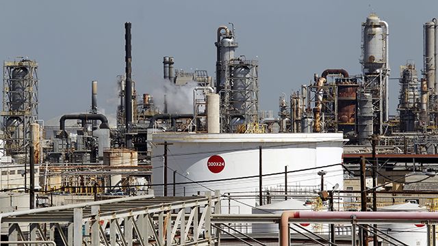
Day in and day out, the residents of the Standard Heights neighborhood in Baton Rouge watch as a century-old oil refinery, operated by Exxon Mobil, belches forth plumes of smoke in various shades of gray. The Louisiana State Department of Environmental Quality allows the facility to pump millions of pounds of volatile organic compounds (VOCs) into the atmosphere each year; but the company recently announced that between 2008 and 2011, the refinery accidentally leaked 4 million pounds more than they were supposed to release.
And that’s just the amount Exxon admits to. NPR and the Center for Public Integrity (CPI) reported in their 2011 “Poisoned Places” series that companies who have exposed their neighbors to risky concentrations of hazardous chemicals often underreport the chemicals released in such accidents. Regulatory loopholes and confusion between state and local environmental agencies allow them to get away with it. The VOCs leaked in Baton Rouge can cause smog and respiratory problems, like asthma — and after a major benzene spill at the facility last year, initially played down by Exxon, the refinery’s residential neighbors worry that the plant is having an adverse effect on their health.
This interactive map, compiled by NPR and CPI, shows serious polluters across America that release hazardous chemicals — including lead, mercury and arsenic — into the air or water.
Enter your zip code or click on the map at NPR.com and get information about polluters in your state.
